
By Résidence Soleado, in BédoinUpdated on 21 August 2026
Cycling up Mont Ventoux is a dream for many riders. The summit (1,910 m) can be reached by three roads, each with its own character. Here's what you need to prepare your climb, especially from Bédoin.
The three routes up the Ventoux
- From Bédoin: the most famous and the hardest: about 21 km, nearly 1,600 m of climbing, average gradient around 7.5%.
- From Malaucène: the north side, of comparable difficulty, with an irregular profile.
- From Sault: the longest but the most gradual; it joins the Bédoin route at Chalet Reynard.
The Bédoin climb in detail
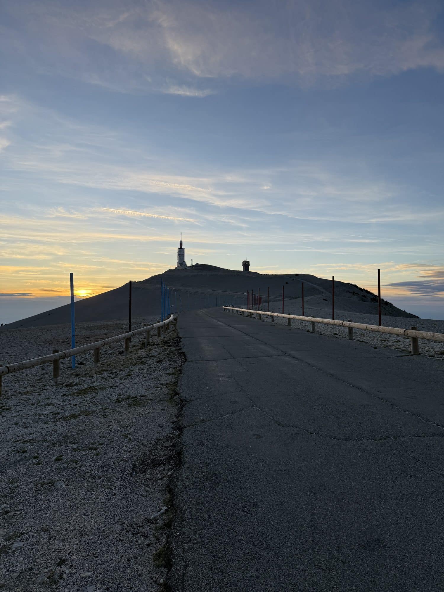
The first kilometres, up to Saint-Estève, are relatively rolling. The difficulty then begins in the long forest section, with long stretches around 9–10%, up to Chalet Reynard. The final kilometres, out in the open in the famous lunar landscape, are often exposed to the wind all the way to the summit.
The most seasoned riders sometimes attempt “Les Cinglés du Ventoux”: all three climbs in a single day.
Safety and preparation
- Check the weather: the wind can be very strong at the summit and conditions change fast.
- Bring warm clothing for the descent: it is much colder at the top.
- Carry enough water and food: water points are rare (Chalet Reynard is the main one).
- Make sure you're in good shape and your bike is well maintained, with suitable gearing.
- Take care on the descent and check the summit road access conditions.
Read more
Find accommodation near the start
Résidence Soleado, a holiday home with pool in Bédoin, sits at the foot of the climb: ideal to set off early and recover after the effort. Book directly, with no fees.
Check availability