
By Résidence Soleado, in BédoinUpdated on 26 August 2026
Around Bédoin, the hiking terrain is wonderfully varied: the great forests and the summit of Mont Ventoux, the quiet plateau and its gorges, and the jagged ridges of the Dentelles de Montmirail. There is something for every level, from a shady family trail to the demanding climb to the summit.
Here are our routes sorted by area. For each one, direct access to the trailhead on Google Maps and a link to the detailed route. Spring and autumn are the ideal seasons; in summer, set off early and favour shaded routes. Always follow the waymarking (yellow for PR, red and white for GR).
This information is provided for guidance only, based on public sources (tourist offices, the Mont Ventoux Regional Nature Park). Résidence Soleado does not organise these hikes and cannot be held responsible. Before setting off, always check the weather (wind and storms can be severe on the Ventoux), the condition and access of the trails, as well as your route and travel time. You hike at your own risk.
Hikes on Mont Ventoux
Mont Ventoux summit on foot from Bédoin
- Distance :10.6 km (one way)
- Duration :≈ 5 h (ascent)
- Elevation :+ 1,463 m
- Difficulty :Hard
- Start :Sainte-Colombe (Ventoux road)
The legendary climb, worth doing at least once: via the Combe d'Ansis and then the Combe Fiole, you cross a forest of cedars and holm oaks before reaching the Sainte-Croix chapel and the summit through the summit scree. The view, from Provence to the Alps, rewards the effort.
Good to know : Start from the hamlet of Sainte-Colombe: park on the right of the Ventoux road (D974), then take the street towards the cemetery (yellow PR waymarking) to reach the Combe d'Ansis trail. Note that this is a one-way route (not a loop): plan your return. It has the biggest elevation gain in the massif: set off early and well equipped.
Mont Ventoux summit from Chalet Reynard
- Distance :11.1 km (return)
- Duration :≈ 4 h
- Elevation :+ 521 m
- Difficulty :Moderate
- Start :Chalet Reynard car park
The most accessible way to reach the summit on foot: from Chalet Reynard, you reach the Tête de la Grave and then the Col des Tempêtes before the final climb to 1,910 m, in a mineral, luminous landscape.
Good to know : Much shorter than from Bédoin, but still exposed to the wind and with no shade towards the end.
The ridges of Mont Ventoux
- Distance :12.2 km (loop)
- Duration :≈ 4 h
- Elevation :+ 534 m
- Difficulty :Moderate
- Start :Chalet Reynard car park
A high-altitude loop from Chalet Reynard, crossing the ridges, rocky slopes and beech woods of the Ventoux. It reveals the mountain's two faces (south and north sides), rare alpine flora and superb views over the Baronnies and the Préalpes.
Good to know : A high, wind-exposed route; it does not climb to the summit.
The Combe de Curnier (Ventoux forest)
- Distance :9.3 km (loop)
- Duration :≈ 3 h
- Elevation :+ 647 m
- Difficulty :Moderate
- Start :Combe de Curnier car park (Bédoin)
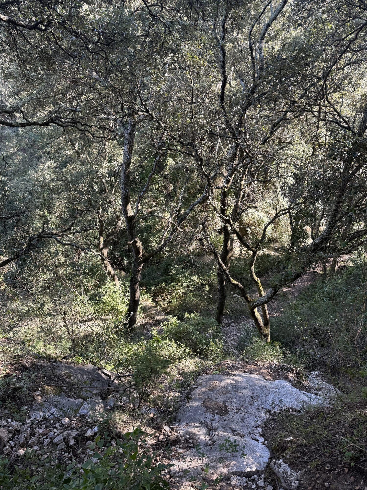
A wild loop at the foot of the Ventoux: narrow gorges and passages beneath the cliffs, then views over the Comtat plain before a descent through Mediterranean forest (Aleppo pine, holm oak, juniper). A lovely immersion, without climbing to the summit.
Good to know : A few rocky sections; avoid in wet weather (the combe channels rainwater).
Gorges de la Nesque and the Sault plateau
The Gorges de la Nesque
- Distance :8.3 km (loop)
- Duration :≈ 4 h
- Elevation :+ 499 m
- Difficulty :Hard
- Start :Monieux, chemin du plan d'eau (≈ 40 min from Bédoin)
A spectacular loop from the medieval village of Monieux: first along the water, then on a balcony trail high above the region's most impressive canyon. Halfway round stands the little Saint-Michel chapel, tucked into the rock.
Good to know : Balcony sections above the drop: not advised for those sensitive to heights or for young children.
The Dentelles de Montmirail
The Dentelles loop from Col du Cayron
- Distance :8 to 10 km
- Duration :3 to 4 h
- Elevation :≈ 480 m
- Difficulty :Moderate to hard
- Start :Col du Cayron, in Gigondas (car park, 400 m)
A loop through the finely carved limestone ridges, much loved by hikers and climbers. Superb panoramas over the Ventoux and the vineyards.
Good to know : A few technical sections along the ridges. Fine wine estates nearby (see our article on the villages around the Ventoux).
Preparing your hike well
- Choose a route suited to your level and to your group's.
- Check the weather: wind and storms can be sudden, especially at altitude.
- Bring plenty of water, a hat and good shoes; avoid the hottest hours.
- Carry a reliable map or track and follow the waymarking.
- Tell someone your route and your expected return time.
Distances and elevation gains are given as a guide only: check the route and waymarking before setting off. Detailed routes and GPX files come from the Ventoux Provence tourist office and specialist sites (Chemins des Parcs, run by the Mont Ventoux Regional Nature Park, Visorando, Décathlon Outdoor, AltitudeRando). Also check access conditions to the massifs, sometimes restricted in summer because of fire risk.
A base to explore from
Staying in Bédoin lets you string outings together without changing accommodation, then recover in peace, real comfort after a day's walking.
Read more
Rest after a hike in Bédoin
Résidence Soleado, a holiday home with pool in Bédoin, is an ideal base for hiking around the Ventoux and recovering in peace. Book directly, with no fees.
Check availability